Case Studies
Your vision is our mission.
Next-Level Advocacy
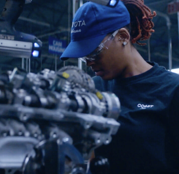
Toyota
- Branding
- Design
- Video
- Product
- Back-End
- Front-End
- Interactive

Bringing Advocacy to Life Through Video
AHIP
- Branding
- Video
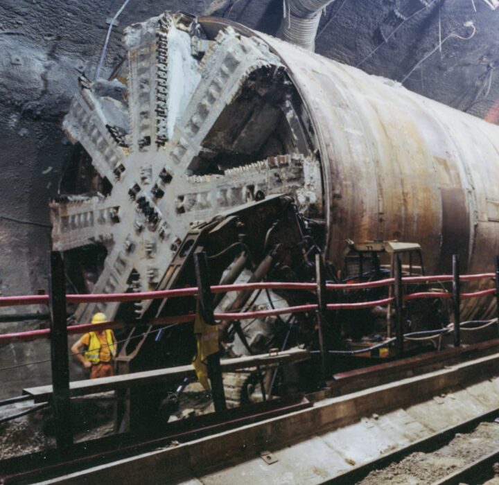
125 Years of Building History
Bechtel
- Branding
- Design
- Marketing
- Front-End
- Interactive
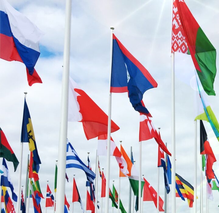
A Global Approach to Energy Efficiency
International Energy Agency
- Branding
- Design
- Product
- Back-End
- Front-End
- Interactive
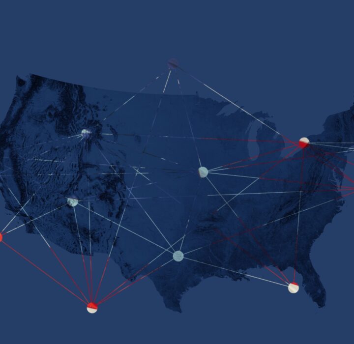
Understanding Investor Decisions
FINRA
- Design
- Video
- Data
- Product
- Front-End
- Interactive

Space-Based Storytelling
Iridium
- Branding
- Design
- Video
- Marketing
- Front-End
- Interactive
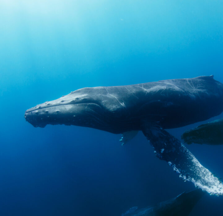
Stopping Whale-Ship Strikes
Benioff Ocean Science Laboratory
- Branding
- Design
- Data
- Product
- Back-End
- Front-End
- Interactive

Epidemics That Didn't Happen
Resolve to Save Lives
- Branding
- Design
- Video
- Data
- Product
- Marketing
- Front-End
- Interactive
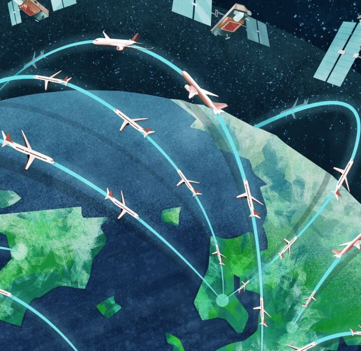
Monitoring Earth's Airspace
Aireon
- Branding
- Design
- Video
- Data
- Product
- Marketing
- Back-End
- Front-End
- Interactive

#ChangePays
S&P Global
- Branding
- Design
- Data
- Product
- Front-End
- Interactive